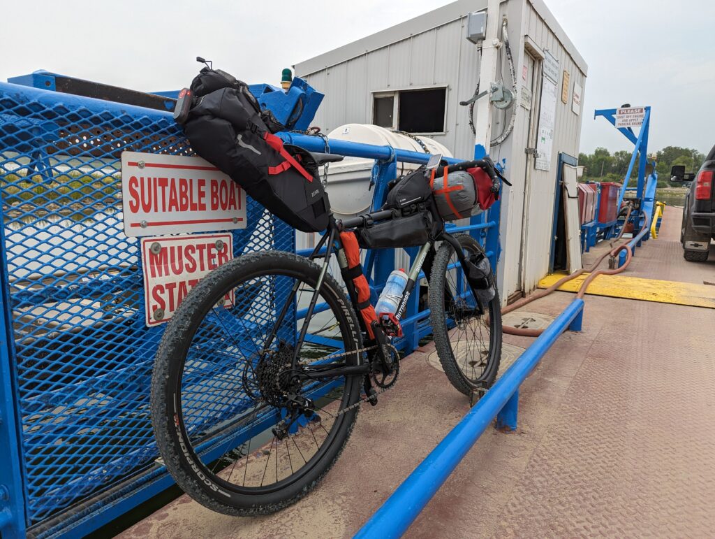
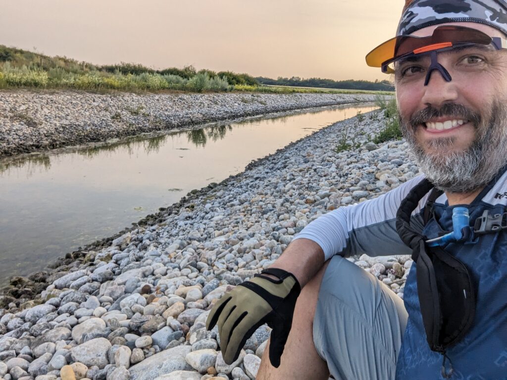
I recently went on another one night bike packing adventure this last weekend. We had heard about the canals out of Blackstrap Lake where people were enjoying some riding and thought it sounded like a great place to do some gravel riding! And the more I looked at it on Google Maps and Ride with GPS the more I started thinking this was perfect for a bike packing adventure, starting in Warman, and camping for the night at the lake.

Using Ride with GPS, I mapped out a route that had me crossing the ferry from Warman, and then heading south to Clavet, over to Bradwell, and then down the canal. And while this route clearly showed me that I would actually be experiencing some elevation, I ride around Warman! I wasn’t ready for something resembling hills…
I loaded up the bike on Saturday, and then pushed off around 4pm with a goal of 5 hours to get to camp before sundown. I soon realized that my cinammon bun and toast I had for breakfast was not the correct nourishment needed for this ride. With a slight headwind/crosswind and ever increasing elevation, my body was soon telling me I messed up!

Around the 35km marker, I came to Sunset Estates just off of Highway 5. I stopped near a neat little heritage church and had a gel and gummies and then continued on. I didn’t realize when I was planning the route, but this next stretch was paved and actually a pretty nice, quiet road going past the Patience Lake mine.
I had uploaded my planned route to my Garmin unit so I was happy to just be riding along and it would tell me when to turn and how to get there. At one point the thought crossed my mind whether or not I was too trusting of this electronic device?
Yes. Yes I was too trusting. I came to an intersection and noticed the sign telling me “local traffic only”. Hmmm. But I figured they mean vehicles. I could make it! And then the road ended. Full stop. Farmer’s field and nothing else. Well then!
After figuring out my way around and getting back on track, I was definitely starting to feel fatigue set in. And I was only 50kms into the ride. But averaging a speed of 18km/hr I was not breaking any speed records to be sure.
Soon, my trusty Garmin beeped at me, telling me I had a left turn coming up. I looked at the road, saw another “local traffic only” sign and said “Nope! Not doing that again!” and continued straight. At the same time, I was coming to some train tracks with a very long train approaching, so I kicked it up, beat the train and continued on. Only to find that this road, this lovely, quiet and even paved road in the middle of seemingly nowhere, only existed for the workers of a Nutrien plant. And it, too, abruptly ended at said plant. This was disheartening! I turned around, but now had to wait for the train, so I pulled out Google Maps on my phone and analyzed my original planned route. As far as I could tell, it should be fine, so rather than backtracking 10+ kms, I decided to go for it. This time, it paid off, and it was a great back road with actual corners and turns, rare for a Saskatchewan grid road in these parts to be sure.
I finally made it to Bradwell, and had the town been bigger with services or a campground, I likely would’ve given up my journey at this point. I was so hungry and depleted, I just wanted to quit. But, I found the canal!

Finally making it to the canal renewed my energy. I had a quick Honey Stinger waffle, sat and enjoyed the edge of the water for a quick break, then got back on. Only 18kms to go, I can do this!
The road was flat, quiet and I saw my share of ducks, gophers, muskrats and rabbits with more birds flying around me than I could count. Such an active area for wildlife it was neat.
But with 10kms to go, I ran out of water. And my legs didn’t want to pedal anymore, my wrists were sore, my neck was mad at me (maybe I should do a proper bike fit!) and the hunger was telling me I would surely die if I didn’t eat something NOW. To make matters worse, a few more kilometers later, the bugs got so intense I had to put my hand over my mouth to breathe without eating them all. My arms, legs and face were covered in bugs! Who’s dumb idea was this ride anyways?

Finally rounding a bend, I saw the north end of Blackstrap Lake. Such a welcome site! There were many people still out fishing, it was a much more popular spot than I thought it would be. However, the little clearing I had seen via the mapping apps was free, so I pulled in and put the bike down, heading straight to the beach to sit, relax and enjoy the fact that this ride that shouldn’t have been such a big deal was finally over! 88 kilometers. I’ve done longer before, but this one definitely took it’s toll on me. I grabbed my water filtration system and quickly got to the first task of getting water to drink and water for my supper.
As the water was filtering and boiling, I started setting up my tent and sleeping mat. The sun was quickly setting, so I knew I needed to be organized so I could find everything I needed! As soon as the dinner was ready, and the tent was set up and ready to sleep, I walked to the beach, sat down exhausted, and dug into supper like it was the only food I would ever eat again. After sitting around the campsite enjoying a small cigar, I turned in for the night. And boy did that little mattress ever feel good!
Stay tuned for part 2, the return trip, soon!

